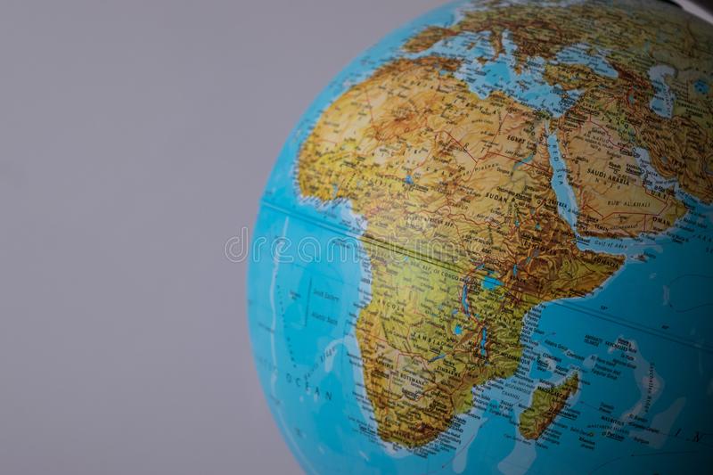
Countermapping is a term that refers to the use of cartographic tools and maps to correct or denounce injustice (Warf, 2010). Historically maps have been a resource available only to the powerful, and have had the ability to be manipulated and misconstrued to influence the public, which can lead to issues in terms of social justice and equality. Countermapping has been a movement of activism aimed at governments to attempt to restore said social justice and “to further seemingly progressive goals” (Peluso, 1995). These injustices and attempts to restore social justice can be seen in the case study example of the Maasai people, in the African nation of Tanzania, countermapping against various organisations with varying degrees of success. These examples allow for a discussion to be had on the effectiveness of countermapping as a form of political activism in this particular case study, and overall as a vehicle for social justice.
The concept of countermapping was introduced by American Sociologist Nancy Peluso from her study of mapping in Indonesia, where forest users released their own maps as opposed to state documents that were said to be undermining the interests of Indigenous peoples. Countermapping is an action that implies political activism, as it looks to challenge the power enforcing social justice issues through mapping. As cartographer Sebastien Caquad explains, “understanding a map is not just about understanding the information mapped but also understanding who did it and what for.” It is the underlying reasons of human and land rights abuses that can occur as a result of mapping that leads to the process of countermapping, which becomes a form of activism against political power.
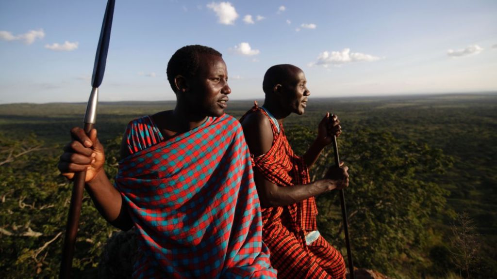
The case study that will be examined in this response was conducted by Hodgson and Schroeder from the University of New Jersey. The purpose of their study was to examine four different examples of countermapping instigated by the Maasai people in Tanzania, who have a long history of being oppressed in terms of land rights, and judge the effectiveness of this action. The four countermapping exercises examined in the study were a Village Registration Campaign launched in the mid-1980’s in an attempt to reduce illegal land alienation, Community-Based Wildlife Areas that were introduced and gave more control to localised groups in the management of natural resources, a research project in the Tarangire National Park that saw Maasai people used to assist with a study into the migratory habits of a range of native animals using maps, and a program fought for by Maasai leaders to allow for reserves to be established that would prevent over-cultivation of important areas to sustain them for when droughts occur in certain areas of the country. The aim of this research was to then determine whether or not the overall result of the projects came to benefit the Maasai people, and can be seen as a yardstick for countermapping exercises and their impact as an act of political activism worldover.
In their discussion Hodgson and Schroeder are able to deduce that while the goals of these countermapping procedures were laid with good intentions, some serious issues did arise with the processes of cartography and with those in power. There are some positives, such as a greater input into the management of the Tarangire National Park, however it is argued that this is a stronger example of “community mapping”, with less political impact than the concept of countermapping. The majority of the aforementioned issues that arose from these strategies were historically significant, deep-seated ones concerning land rights that could not be fixed or changed quickly without serious political intervention. For example, the study notes that there have been cases where Maasai’s have again been alienated or excluded from farming practices. This leads the study to make one of its most significant points, “that countermapping is neither a panacea nor a quick fix for resource management problems”, particularly when there are such long-standing conflicts between in this case the Maasai’s and generational oppressors that have held different forms power over them for decades. These findings give a dim but realistic view of countermapping in this instance, and provide context to other examples found around the work.
In response to these findings one feels that while community mapping can be seen as a positive for the imparting of the Maasai’s knowledge, as well as a mutual respect for being able to provide this service, however this particular instance shows some of the difficulties that have to be dealt with countermapping as a form of political activism. In a fragmented society like the one presented in this case study in Tanzania, this process requires more formal methods of cartography and government co-operation, which can be difficult to obtain and therefore implement to allow greater representation for people like the native Maasai’s of Tanzania. There are elements of positivity and empowerment in terms of political activism through countermapping, however the study does show in detail how difficult these processes can be.
In this response a discussion was made on the effectiveness of countermapping, the use of cartographic tools and maps to correct or denounce injustice (Warf, 2010), in terms of political activism. The case study utilised was the research of Schroeder and Hodgson into four different countermapping initiatives in Tanzania that aimed to assist the Maasai population, who had experienced social injustice over time, enforced by a range of colonial and political powers. Due to the political difficulty of the majority of these efforts, they were not necessarily successful, but important to shed light on injustice through this form of political activism. There were also positive gains made in terms of community mapping, however the more technical and complex maps and their implications were more difficult to quantify. Overall this study provided detail from a range of perspectives on countermapping, and allows for judgements to be made on its effectiveness as a form of political activism, and its ability to promote and create social justice.
References
Hodgson, D.L. and Schroeder, R.A. (2002). Dilemmas of Counter-Mapping Community Resources in Tanzania. Development and Change, 33(1), pp.79–100.
Peluso, N.L. (1995). WHOSE WOODS ARE THESE? COUNTER-MAPPING FOREST TERRITORIES IN KALIMANTAN, INDONESIA. Antipode, 27(4), pp.383–406.
Warf, B. 2010. Countermapping. In: Barney Warf Editor, 2010. Encyclopedia of Geography, Thousand Oaks, CA: SAGE Publications, Inc. pp. 596 Available at: <https://dx.doi.org/10.4135/9781412939591.n227> [Accessed 12 Mar. 2022].
Open Canada. (2014). The politics of making maps. [online] Available at: https://opencanada.org/the-politics-of-maps/ [Accessed 13 Mar. 2022].
